|
|
Post by Colin D on Apr 5, 2024 0:35:13 GMT
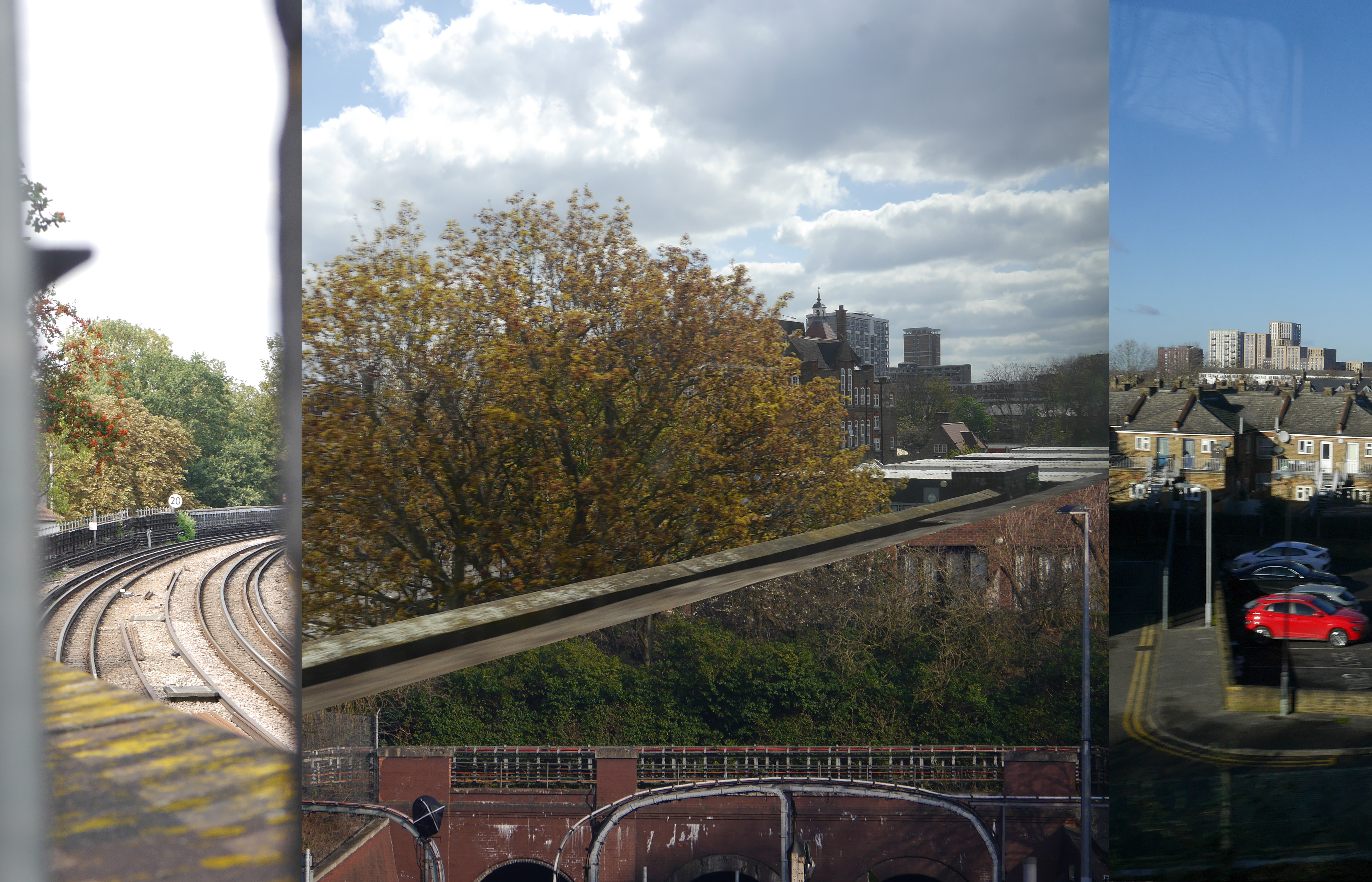
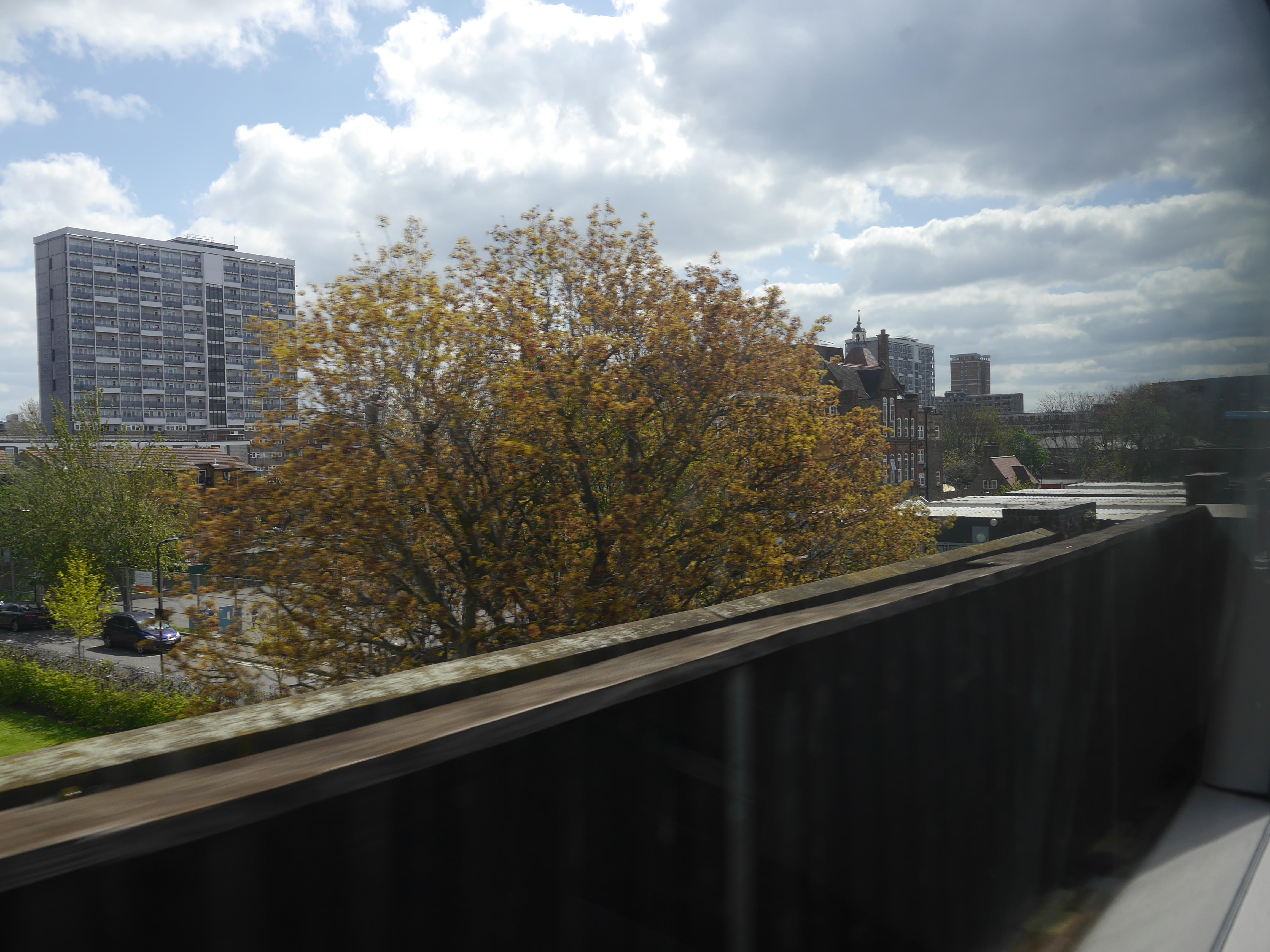
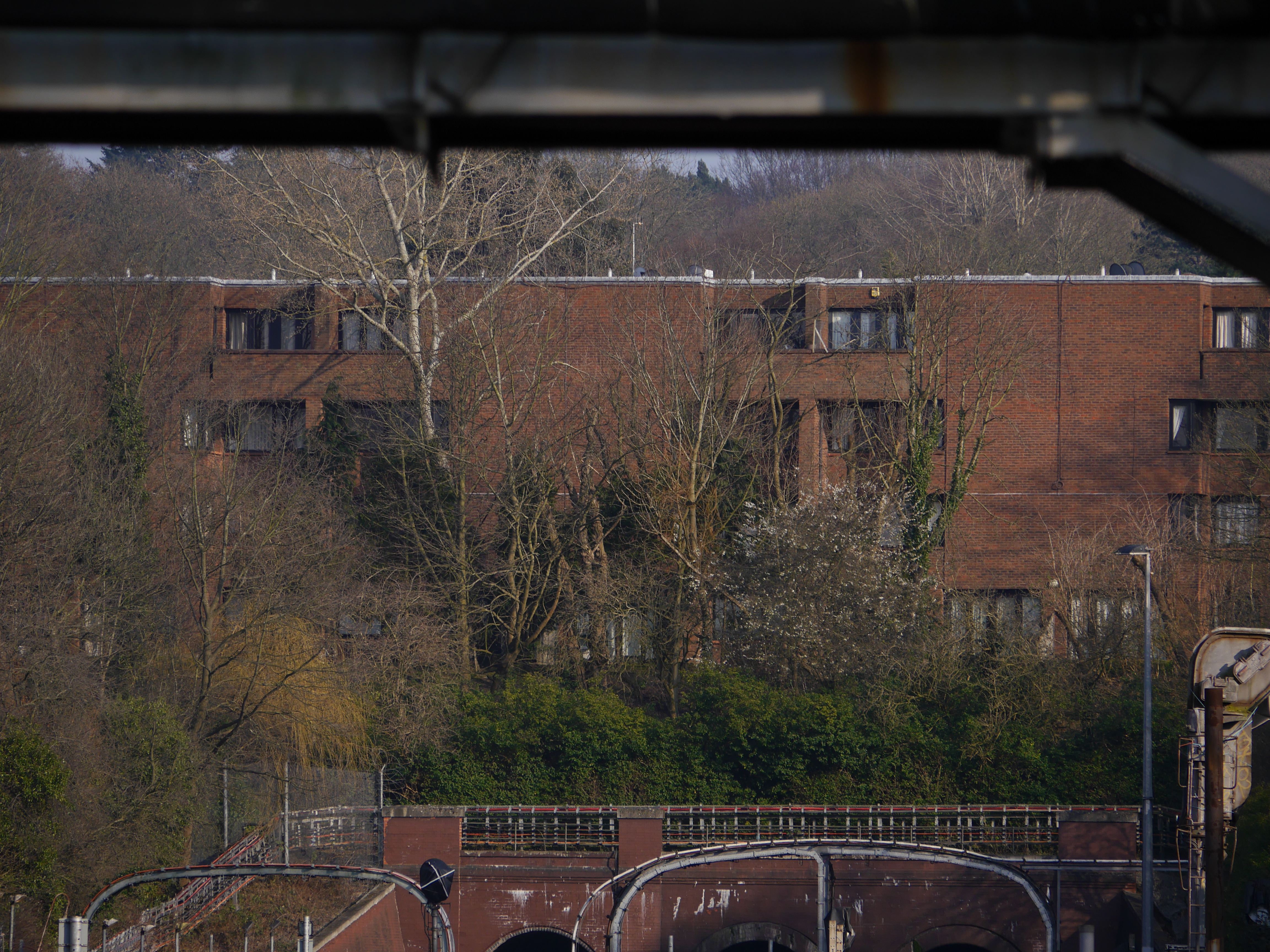
Question: Identify these four locations and the link between them 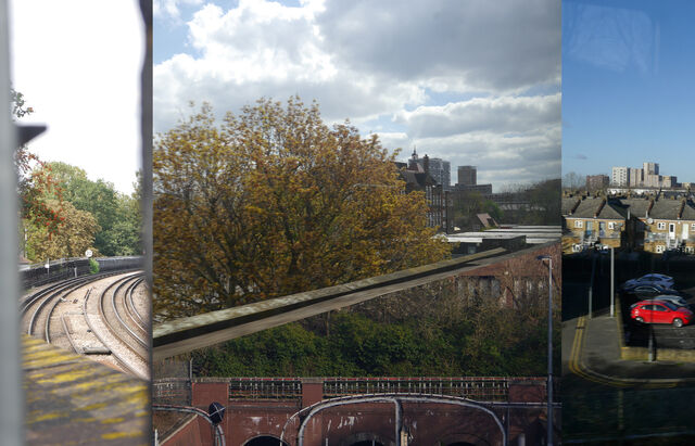 (click for a larger version) The locations are identified according to the diagram below: 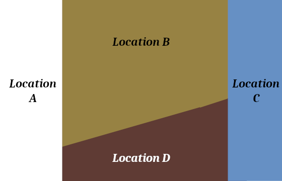 |
|
|
|
Post by bruce on Apr 5, 2024 5:53:41 GMT
D = Golders Green tunnel mouths.
|
|
|
|
Post by Colin D on Apr 6, 2024 1:13:02 GMT
Location A Piccadilly line between Bounds Green and Arnos Grove view looking northwards from Footbridge on Lower Maidstone Road looking towards Viaduct and Bridge over North Circular Road. Location B London Overground between Haggerston and Hoxton view looking east from train towards Randal Cremer School. Location C London Overground between Clapton and St James Street view from train looking northwards from train towards Blackhorse Road flat development at around Stephenson Road Car Park location. Location D Northern line Golders Green tunnel portals as viewed from the platform Are they all sections of line where viaducts start Answers: Location A: Between Arnos Grove and Bounds Green - view north from tunnel portal [Chris M] 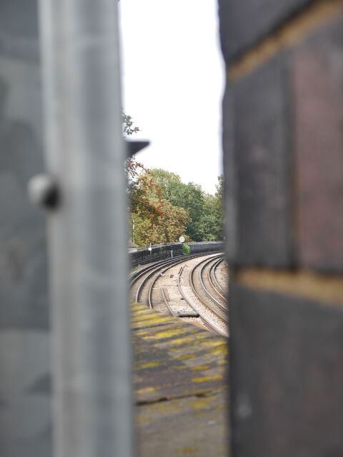 (click for a larger version) Location B: Between Haggerston and Hoxton - passing How's Street from southbound train [Chris M]  (click for a larger version) Location C: Between Hall Farm Junction (Clapton) and St. James Street - Stephenson Road car park [Chris M] 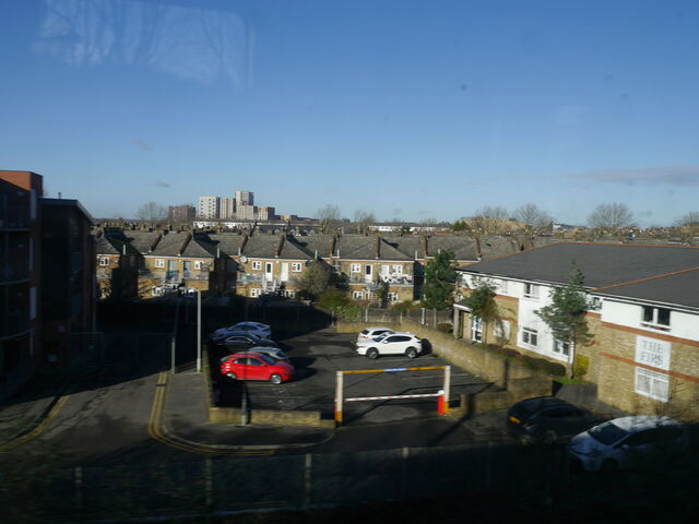 (click for a larger version) Location D: Between Golders Green and Hampstead - above tunnel mouths [Chris M] 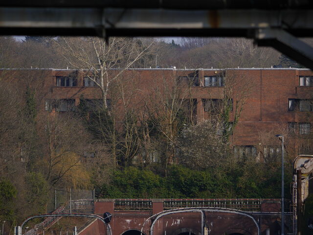 bigvern bigvern has everything except for the link. |
|
|
|
Post by greatkingrat on Apr 8, 2024 9:12:23 GMT
Are they the highest points on their respective lines?
|
|
Chris M
Global Moderator
Forum Quizmaster
Always happy to receive quiz ideas and pictures by email or PM
Posts: 19,409
|
Post by Chris M on Apr 8, 2024 20:25:07 GMT
I don't know. This is not a physical geography question.
|
|